Cold front to bring snow and temperature drops across New Zealand

 Monday 14 September 2026 · 2 outlets · 2 reports · updated
In this story MetService, NZ Transport Agency
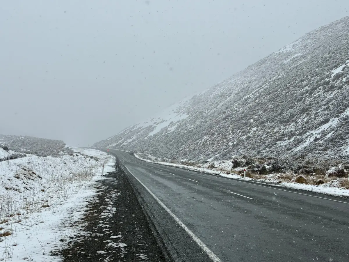
A cold front moving northwards on Wednesday is expected to bring wetter, windier weather and a significant temperature drop. MetService warns that conditions could be favourable for large amounts of snow at higher elevations, potentially affecting South Island highways by Thursday.
Key facts
5 facts
- Temperatures in eastern South Island could drop from the low 20s on Tuesday to below 10C by Thursday.

- A heavy rain watch is in effect for Fiordland from 5pm Tuesday to midday Wednesday.
- Snowfall of 10cm is possible in the Mackenzie Basin on State Highways 8 and 80.
- Snowfall of over 10cm is possible on State Highway 73 at Porters Pass and west of Arthur's Pass.
- State Highway 94 near Milford Sound may close from Tuesday evening.
The full story
1 min read · 3 outlets
A cold front is forecast to bring a sharp temperature drop and potentially significant snow to the South Island this week. While eastern parts of the South Island may see highs in the low 20s on Tuesday, temperatures could struggle to reach 10C by Thursday.
Meteorologists suggest the weather setup is favourable for large amounts of snow at higher elevations. Significant snow is possible in the high country between Mt Cook and Mt Aspiring, though it is too early to confirm if it will reach ski fields.
The New Zealand Transport Agency has noted a risk of 10cm of snow in the Mackenzie Basin impacting State Highways 8 and 80 early Thursday. More than 10cm may fall on higher parts of State Highway 73, including Porters Pass and west of Arthur’s Pass village.
On State Highway 94 near Milford Sound, the front and rain are predicted to increase avalanche risk. Part of SH94 is expected to close from Tuesday evening, with a potential reopening around midday Wednesday.
How it developed
- Mon 14 Sep, 3:46pmMeteorologist Alwyn Bakker noted that snow levels are currently around 900 metres but could change as the system develops.
Where reports differ
- Reports differ on the expected temperature for Christchurch, with one stating it may struggle to reach 10C by Thursday and another stating it may reach the high teens to low 20s through Wednesday.
Compiled from reports by 1News, Otago Daily Times and The Press.